Cultural and natural inventory of the European Green Belt at the Bavarian-Czech border
The transboundary project was implemented by the BUND Naturschutz in Bayern e.V., Kreisgruppe Passau in collaboration with Hnutí DUHA - Friends of the Earth Czech Republic from October 2024 to May 2026.
Challenge
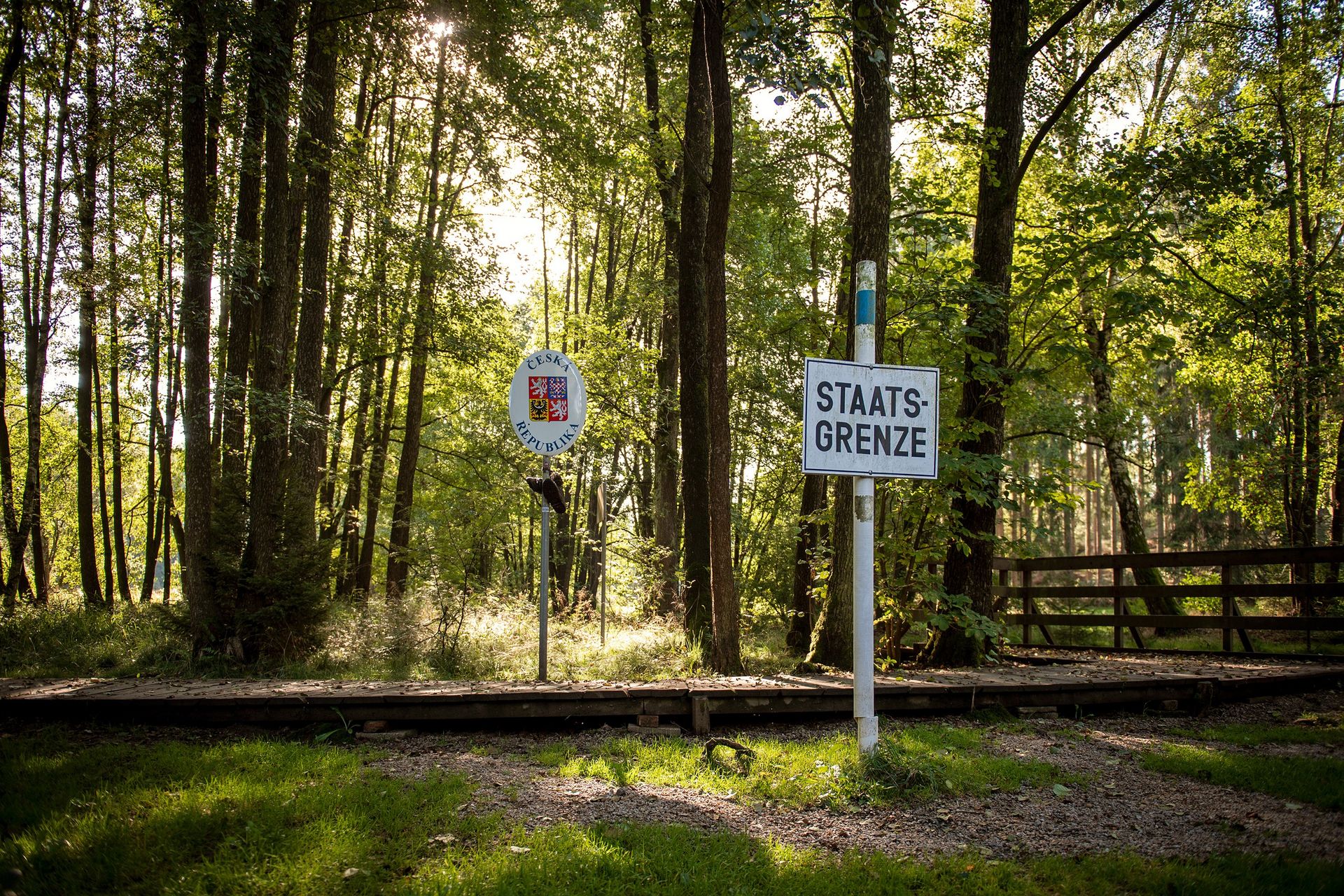
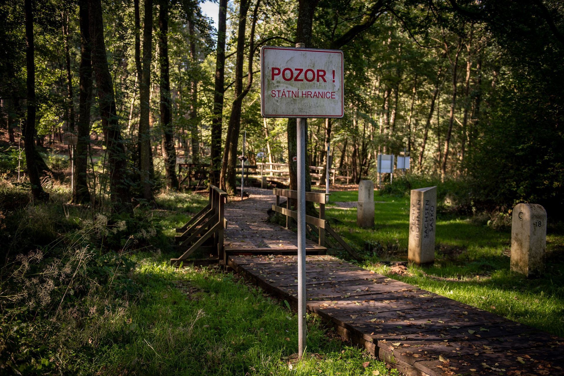
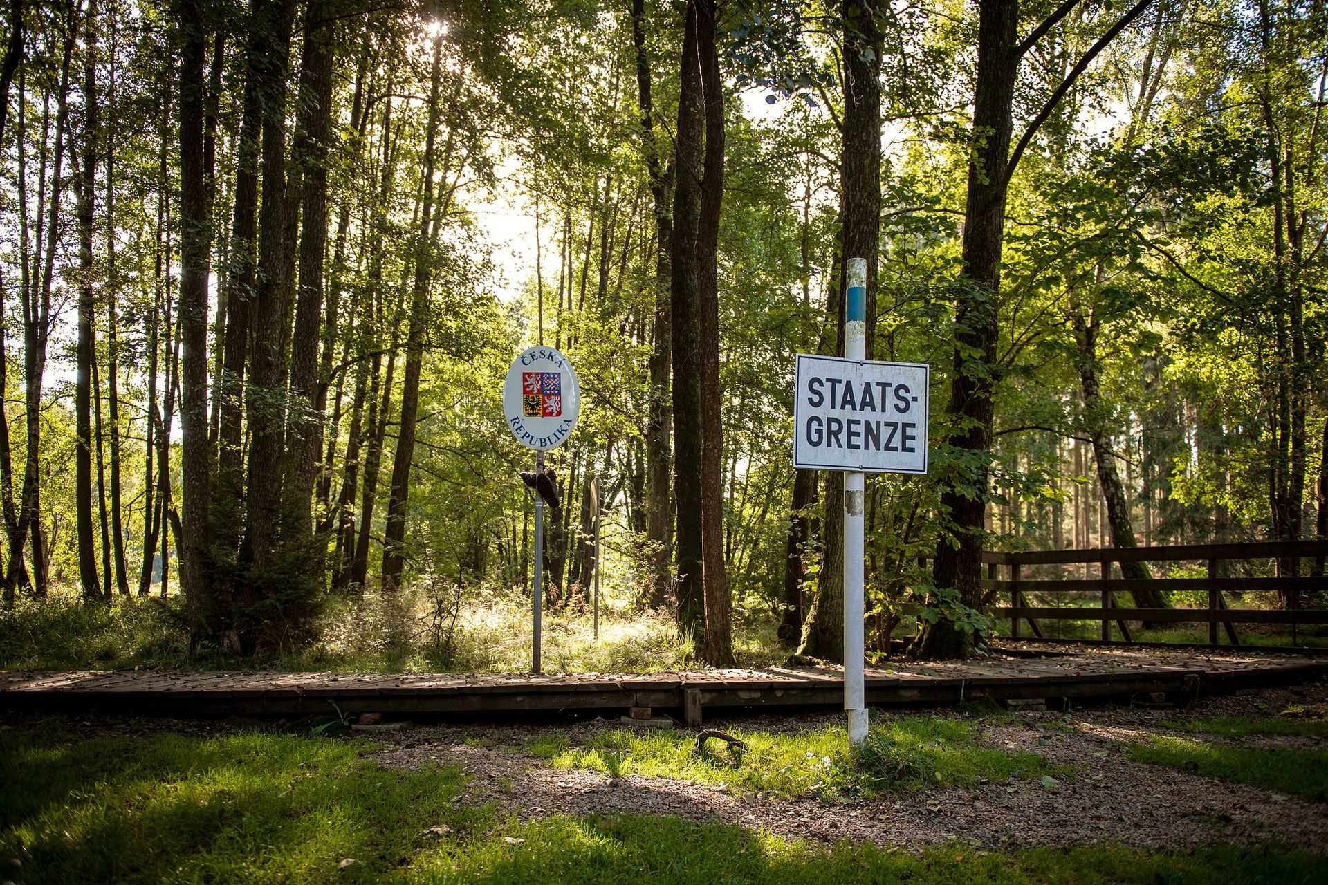
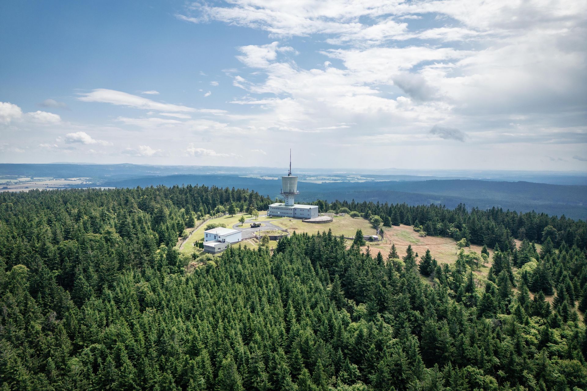
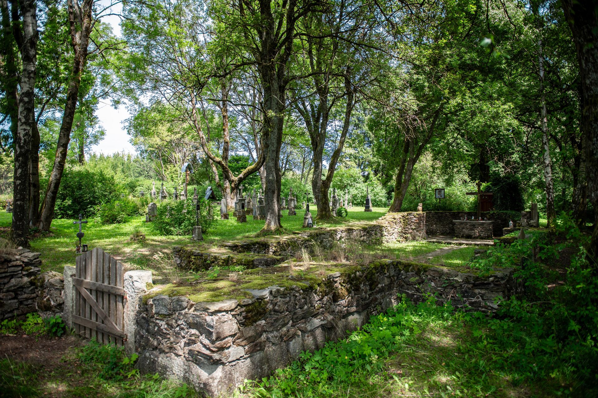
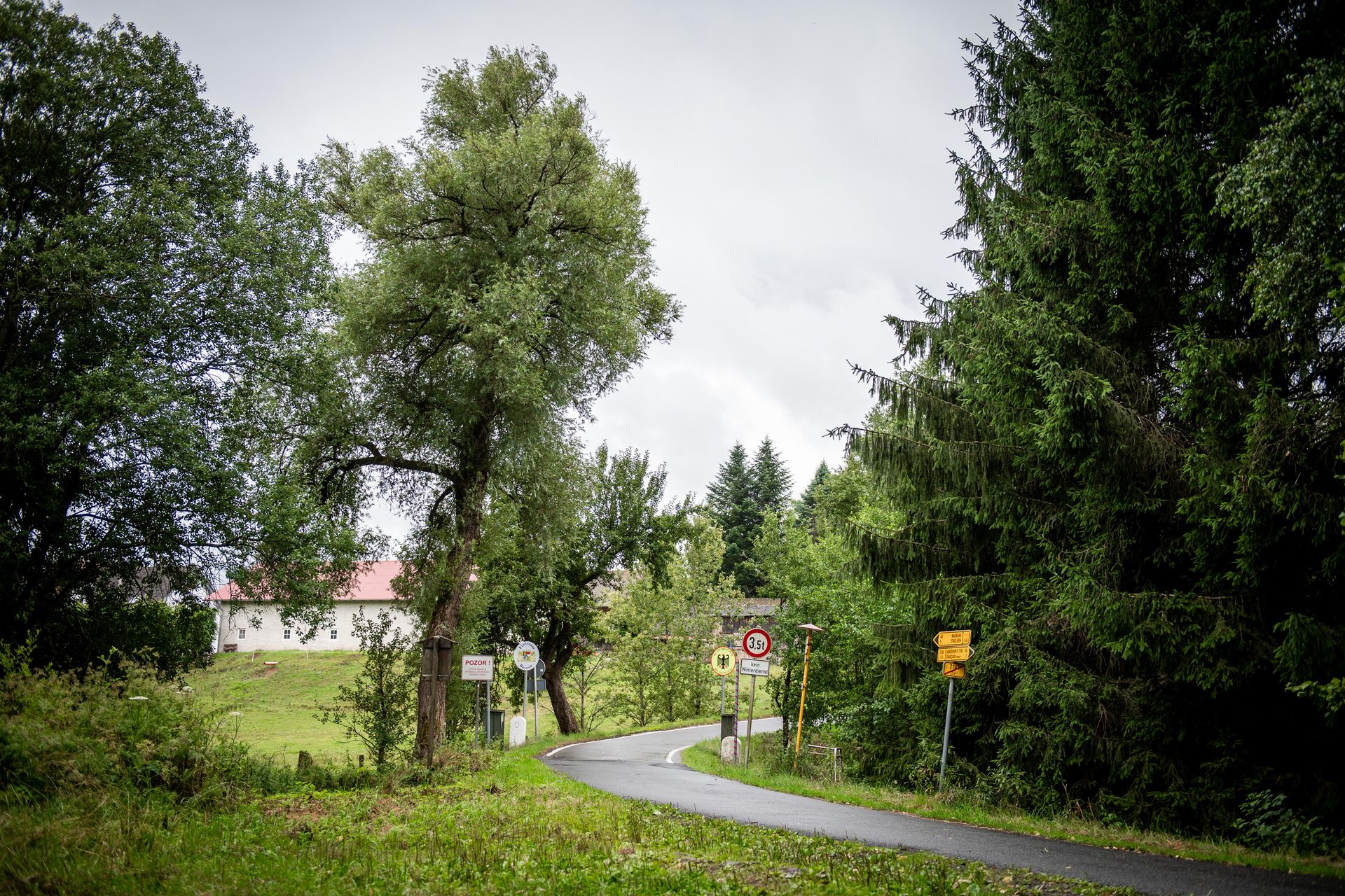
For decades, the Bavarian–Czech border was shaped by the Iron Curtain, leaving behind abandoned villages, forgotten stories and valuable natural landscapes. While nature has recovered, much of the region's cultural heritage and historical memory is fading. Without systematic documentation, this unique European heritage risks being lost for future generations.
Objective
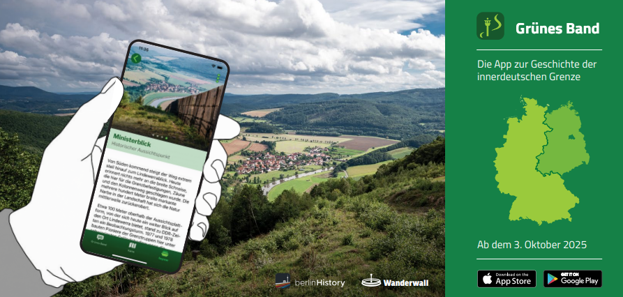
The project aimed to document and preserve the cultural-historical and natural heritage of the Bavarian–Czech Green Belt. It sought to create a shared digital database, strengthen cross-border cooperation, and make this unique landscape and its history accessible to the public through the Green Belt App.
Approach
The project achieved its objectives by:
- Identifying and documenting more than 200 Points of Interest.
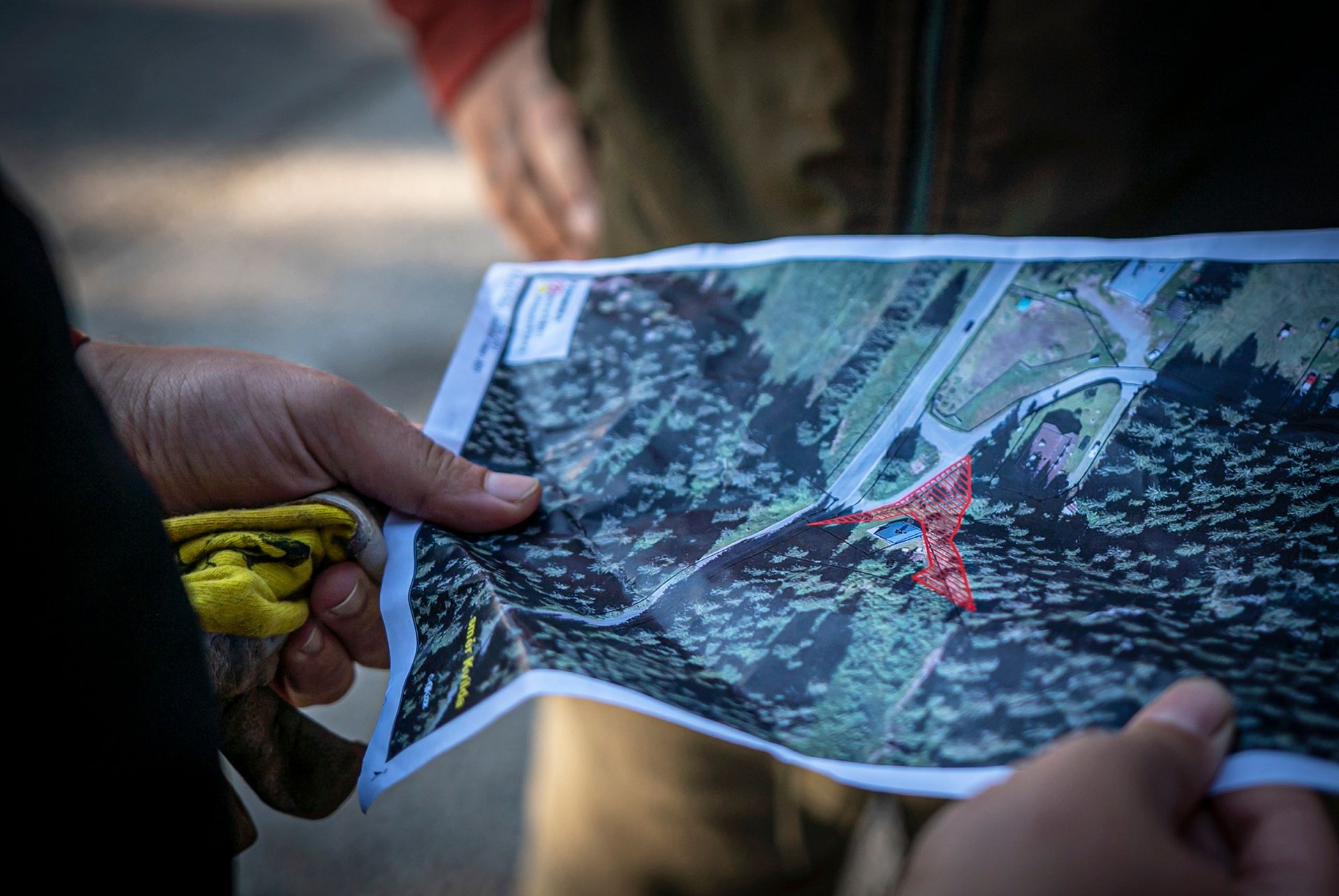
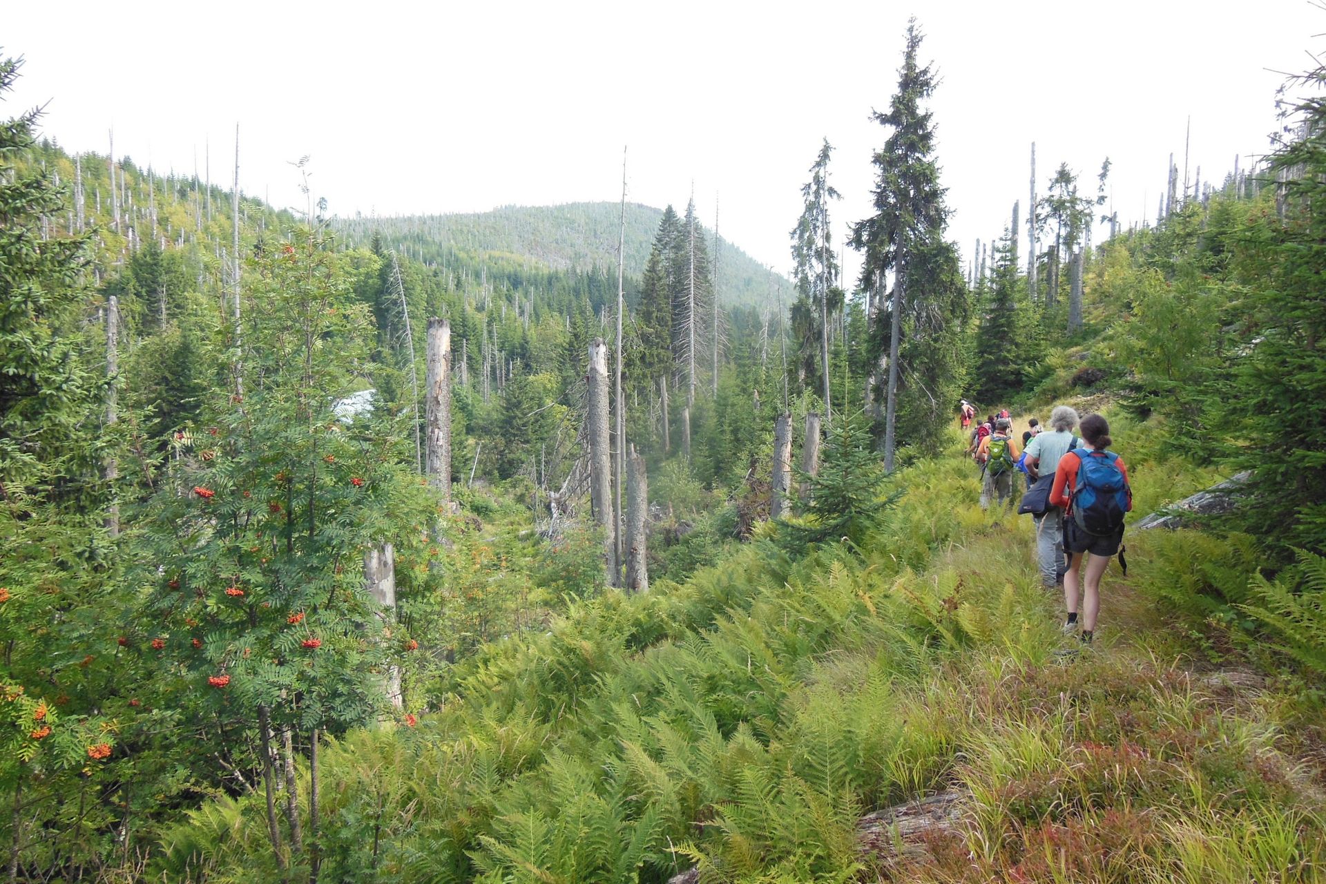
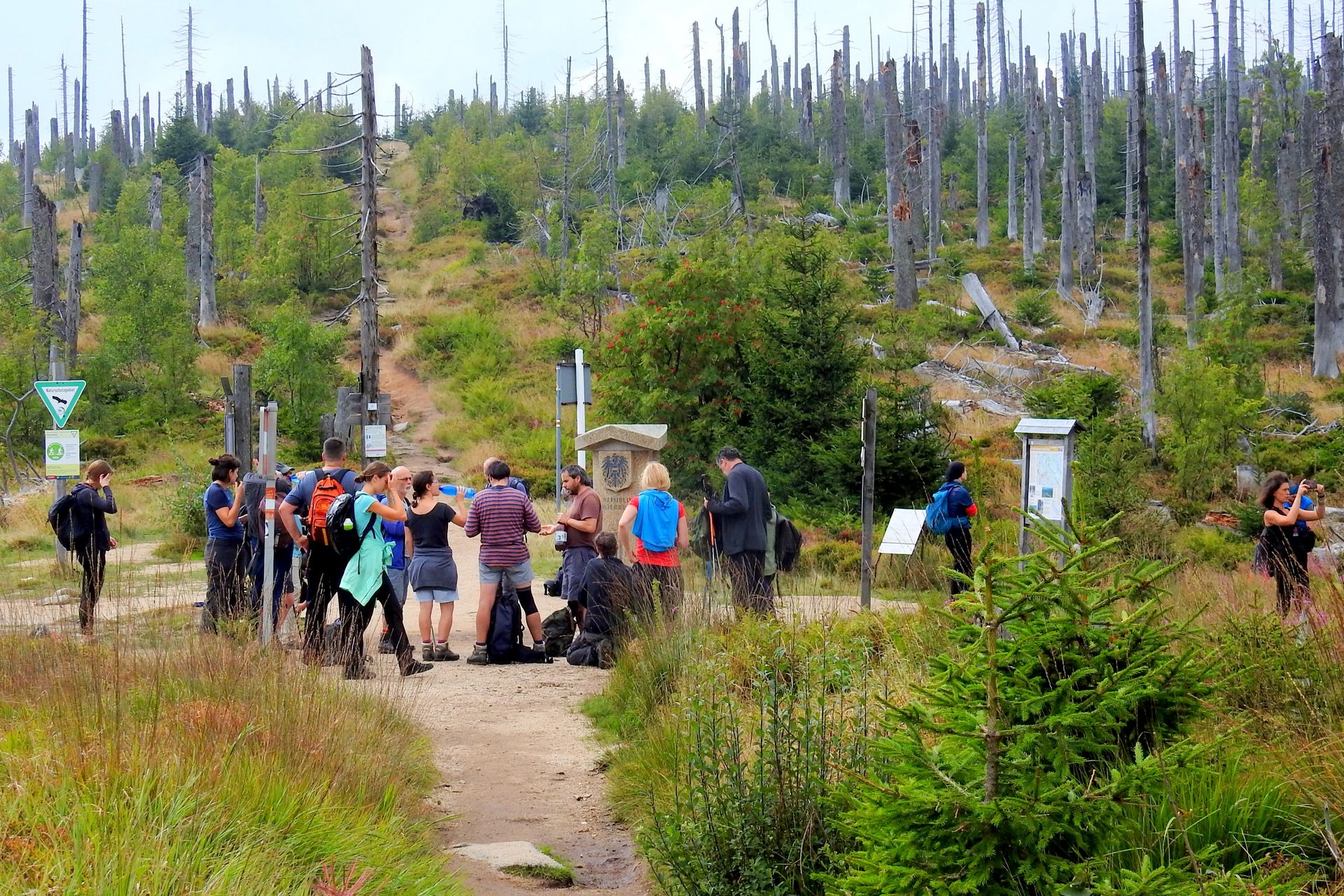
- Conducting cross-border field surveys and GIS mapping.
- Collecting photographs, archival material and oral history.
- Creating multilingual content for the Green Belt App.
- Building a shared digital database with partners in Germany and the Czech Republic.
Achieved Results
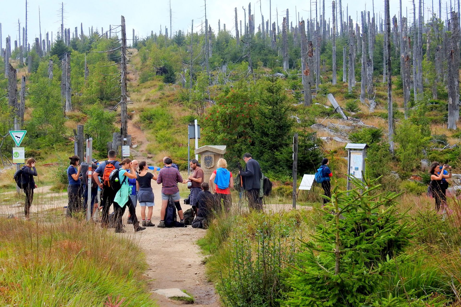
The project created the first comprehensive digital inventory of the Bavarian–Czech Green Belt. More than 200 cultural-historical and natural sites were documented and integrated into the Green Belt App. The project preserves a shared European heritage, strengthens cross-border cooperation, and makes this unique landscape accessible to thousands of users.
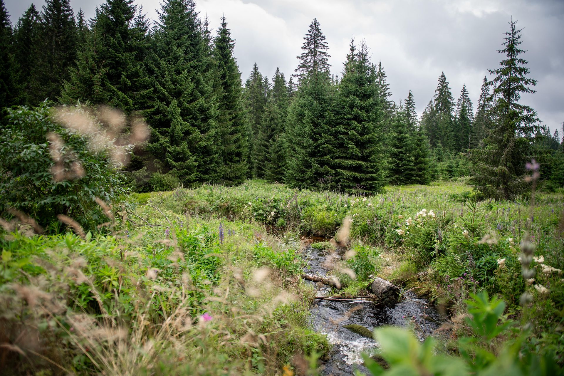
Cultural and natural inventory of the European Gren Belt at the Bavarian-Czech border
The transboundary project was implemented at the Bavarian-Czech border.
Project lead: BUND Naturschutz in Bayern e.V., Kreisgruppe Passau
Alte Rieser Straße 19, 94034 Passau
Germany
Grant: 59.500,62 €
Duration: 20 months
Contact person for the BESTbelt project: Manuela Weber passau(at)bund-naturschutz.de
Website: https://passau.bund-naturschutz.de/
Interactive Map
This map is currently hidden to protect your privacy. When you click the button below, the map will be loaded from Mapbox.
If you tick the checkbox, this selection will be saved in a cookie and the map will be displayed automatically the next time you visit the site.