Ruy Mountain
Ruy Mountain
Names in the national language
Ruy (Bulgaria)
Ryj (Serbia)
Location and short description
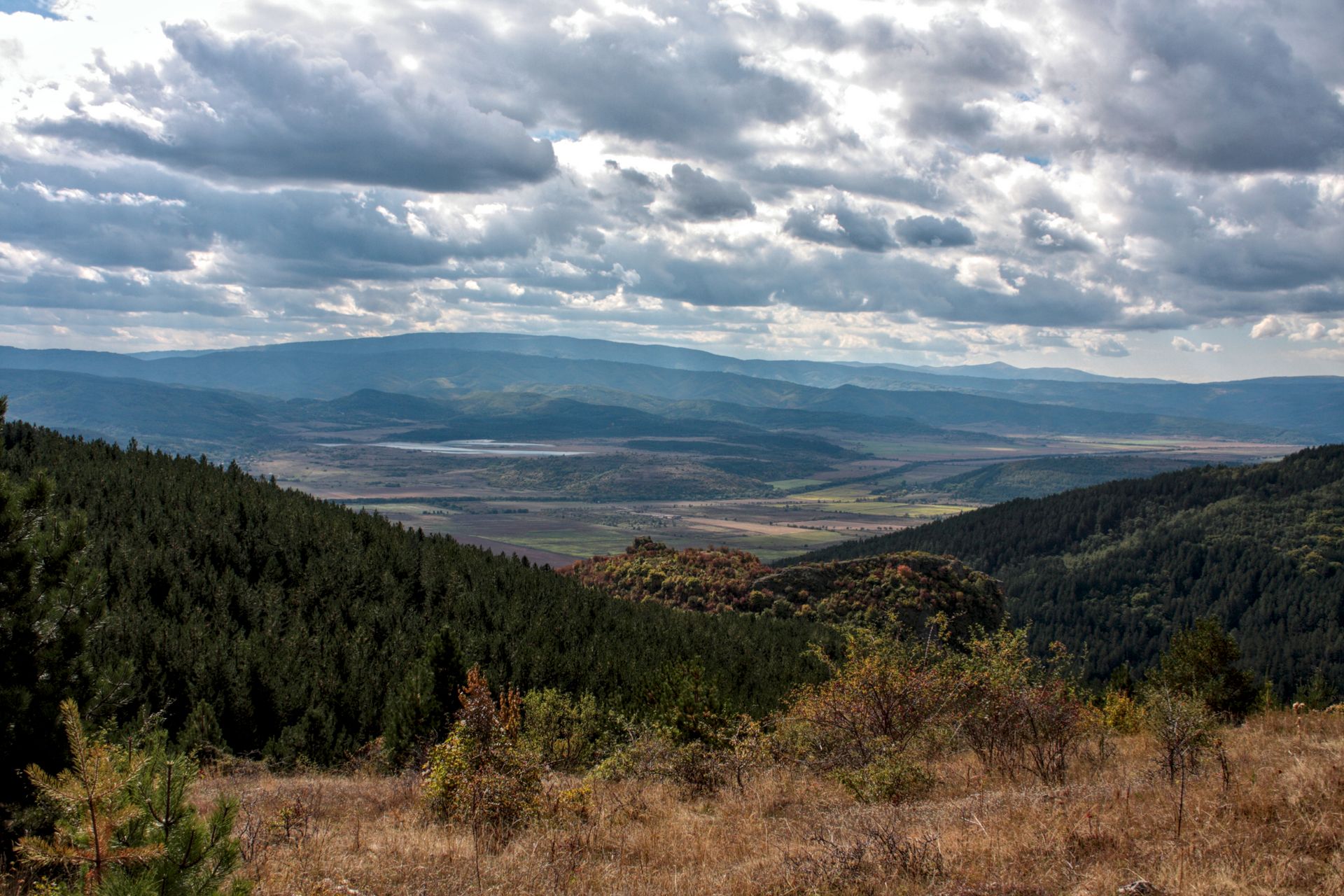
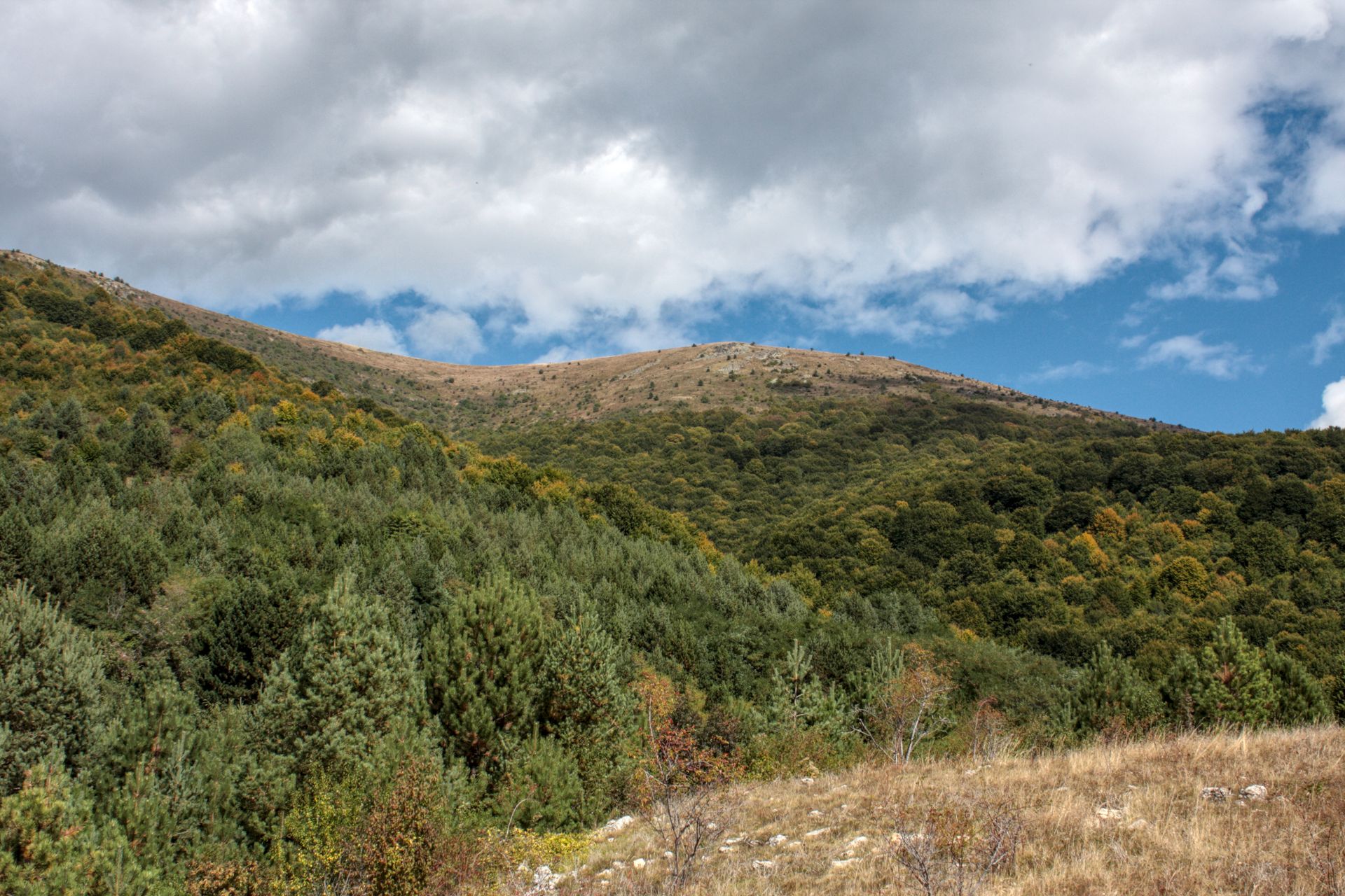
Ruy Mountain is located in western Bulgaria and south-western Serbia in the Kraishte area and part of the Ruy-Verila Mountain range. The name of the mountain originally comes from the Smoketree plant species Rhus cotinus (now synonym of Cotinus coggygria). The length of the mountain is around 12 km, with a width 10 km in average. The total area covers 86 km2.
Special features
The highest peak of the mountain is Ruy(1,705 m) which is situated directly over the town of Tran and is surrounded by the Erma River and the valleys of Lomotniza and Chobanka Rivers. From the peak, there is a very good view of the Bulgarian-Serbian border. The Gordge of Erma River, or Tran Gordge as it is known, is the most famous landmark in the region with its 100 m cliffs.
Main biotop types
Oak and beach forests, grass communities
Species
- Mammals: Grey wolf (Canis lupus), Carpathian lynx (Lynx lynx carpathicus)
- Birds: Saker falcon (Falco cherrug), Pallid harrier (Circus macrourus), Corn crake (Crex crex)
Status of protection
Natura 2000 sites, Strict Protected Area “The Gordge of Erma River” (Bulgaria)
National protection status (Serbia)
Ruy Mountain
Bulgarian Biodiversity Foundation (Bulgaria)
Website: https://biodiversity.bg
Email: bbf(at)biodiversity.bg
Interactive Map
This map is currently hidden to protect your privacy. When you click the button below, the map will be loaded from Mapbox.
If you tick the checkbox, this selection will be saved in a cookie and the map will be displayed automatically the next time you visit the site.