Strandzha
Strandzha

Names in the national language
Strandja (Bulgaria)
Istranca (Turkey)
Special features
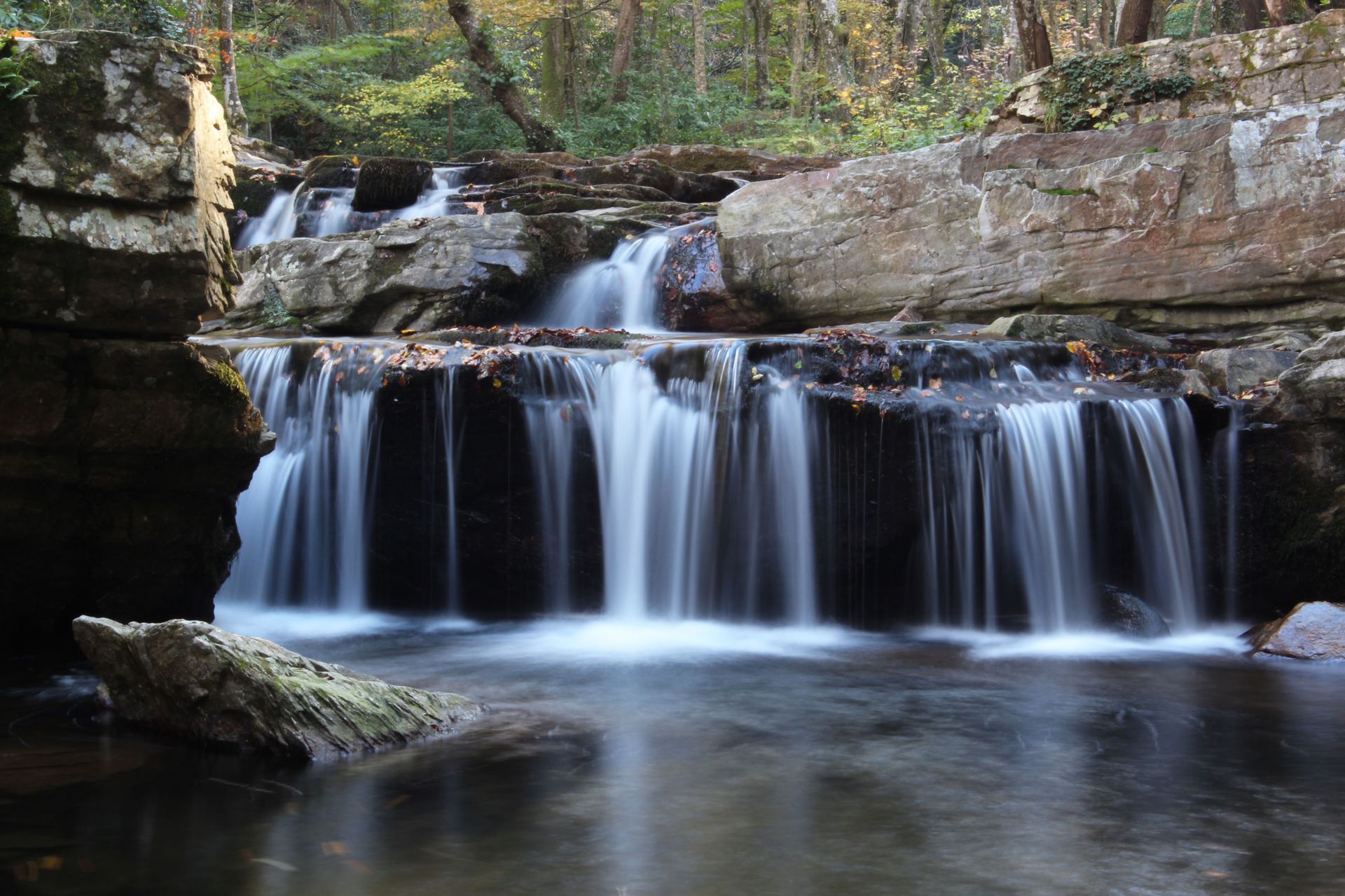
In Turkey, the highest peak is Mahiada (1,031 m) and in Bulgaria Golyamo Gradishte (710 m). The major rivers in the mountain massif are Veleka/Kocadere with 147 km and Rezovska/Mutludere with 112 km in length. The area holds the biggest share of protected areas in Bulgaria, making up one percent of the total country area. The “Via Pontica” bird migration route traverses the mountain massif, and this determines the high ornithological diversity in the area.
Main biotop types
Oak forests with undergrowth of evergreen sclerophyll shrubs
Species
- Mammals: Grey wolf (Canis lupus), Marbled polecat (Vormela peregusna), Eurasian otter (Lutra lutra)
- Birds: Black stork (Ciconia nigra), Short-toed snake eagle (Circaetus gallicus), Lesser spotted eagle (Clanga pomarina), Dalmatian pelican (Pelecanus crispus)
- Reptiles: European ratsnake (Zamenis situla), Blotched snake (Elaphe sauromates)
- Plants: Tree heath (Erica arborea), Butcher's-broom (Ruscus aculeatus), Rose of Sharon (Hypericum calycinum), Green olive tree (Phillyrea latifolia), Cistus incanus, Sage-leaved rock rose (Cistus salvifolius)
Status of protection
Strandja Nature Park, Nature Reserves, 14 other protected areas (Bulgaria)
Iğneada Foodplain Forest National Park (Turkey)
Strandzha
Strandja Nature Park (Bulgaria)
Website: https://www.strandja.bg
Email: strandja_park(at)abv.bg
Bulgarian Biodiversity Foundation (Bulgaria)
Website: https://biodiversity.bg
Email: bbf(at)biodiversity.bg
Iğneada Foodplain Forest National Park (Turkey)
Website: https://nationalparksofturkey.com/igneada-longoz-forests-national-park
Interactive Map
This map is currently hidden to protect your privacy. When you click the button below, the map will be loaded from Mapbox.
If you tick the checkbox, this selection will be saved in a cookie and the map will be displayed automatically the next time you visit the site.