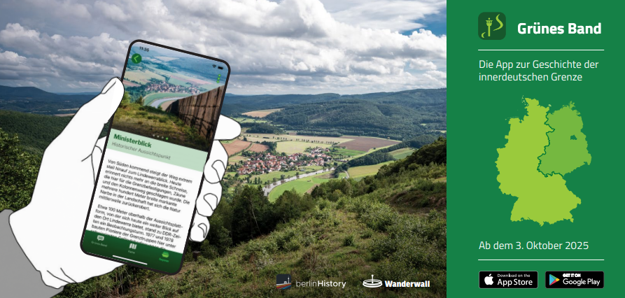
A brand-new app for exploring the German Green Belt has been launched!
On 3rd October, the German Reunification Day, a brand-new app was launched that will allow people to explore and experience the former inner-German border and the German Green Belt. By combining photo material, maps, biographies and interviews with contemporary witnesses, the app is the most comprehensive media presentation of the inner-German border to date.
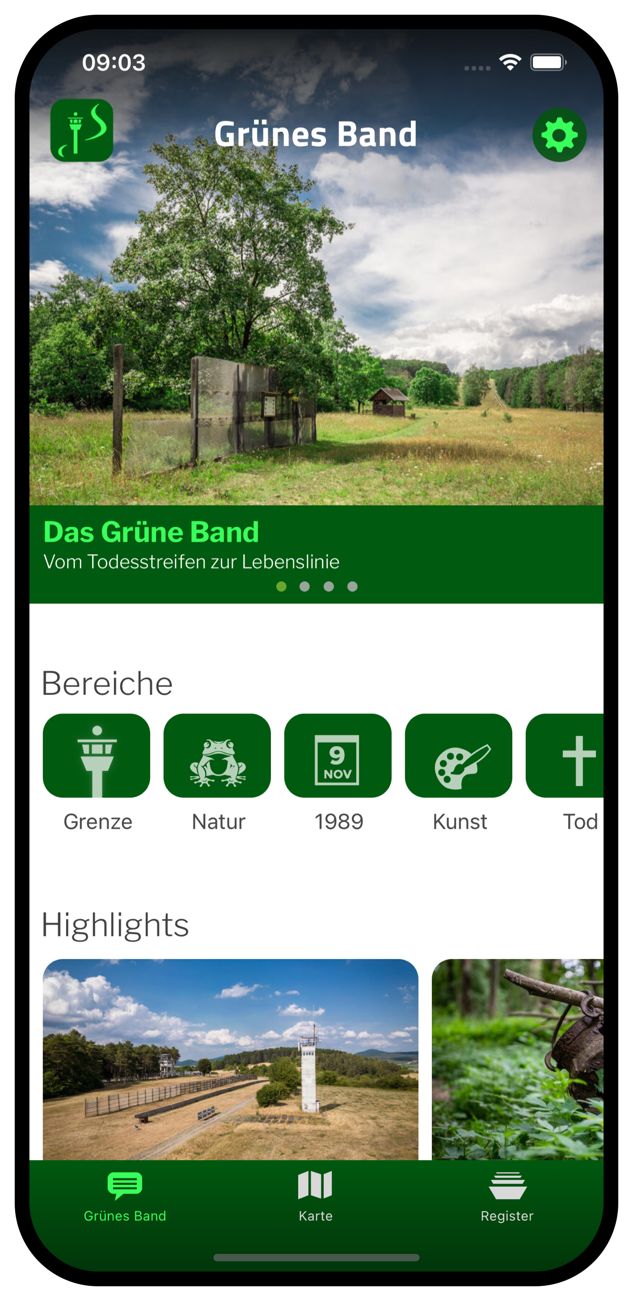


The new app called “Grünes Band” tells the history of the inner-German border and its development into Germany's Green Belt using geo-based Points of Interest (POIs). These POIs are divided into main categories of cultural history and natural environment. In addition, there is a separate category for the representation of those who died at the border. In total, the app presents:
233 biographies of people who died at the border,
53 preserved observation towers,
46 demolished locations,
72 nature reserves, habitats and similar sites,
27 borderland museums and
many border relicts, regional stories and places of remembrance, some of which are being described for the first time.
The app was developed by the non-profit association berlinHistory e.V. and offers a wide range of exploration options for people who want to discover the German Green Belt. Routes have been recorded and developed for hikers, cyclists and motorists.
With more than 2,000 current and over 1,000 historical photos, current and historical map views, biographies of those who died at this border, interviews with contemporary witnesses and presentations of all border museums, initiatives and memorials, the app is the most comprehensive media presentation of the inner-German border and the German Green Belt to date. The EU-funded BESTbelt project “Cultural and natural inventory of the European Gren Belt at the Bavarian-Czech border” complements the new app by creating and providing a comprehensive and geo-based inventory of 200 Points of Interest along the Bavarian-Czech border. The inventory will be used to create a digital map with high-quality photos, informative texts and archive material.
Key features of the “Grünes Band” app:
29 hours of material available as audio format in German and English
can be used even in areas without network coverage
individual sections of the route can be downloaded for offline use
The BESTbelt project “Cultural and natural inventory of the European Gren Belt at the Bavarian-Czech border”, implemented by the BUND Naturschutz in Bayern e.V., Kreisgruppe Passau in collaboration with Hnutí DUHA - Friends of the Earth Czech Republic from October 2024 to May 2026.
For more information, please contact:
Thom Gallie (W A N D E R W A L L); thom(at)wanderwall.de